
AVILA BEACH, California — Sunday, November 22, 2026, early-morning update. A new High Surf Advisory begins Sunday morning for the central California coastline, and stronger waves are expected later in Thanksgiving week.
Official advisory times and severity
For San Luis Obispo County and Santa Barbara County Central Coast beaches, the NWS Los Angeles/Oxnard message issued 7:06 p.m. Saturday, November 21 continues a High Surf Advisory from 6 a.m. Sunday, November 22 until 3 p.m. Thursday, November 26. Breaking waves are forecast near 9–11 feet, building to 15–20 feet Wednesday, with dangerous rip currents. A Coastal Flood Advisory also runs from 3 a.m. Monday to 3 a.m. Wednesday, followed by a Coastal Flood Watch late Tuesday night through Thursday afternoon. The two hazards are related but not identical; a watch is not proof that a particular street is flooded.
What this means for Avila Beach
Local area of concern: Avila Beach Pier and ocean-facing public beach access. Residents and visitors near Avila Beach Pier should avoid standing on exposed rocks or walking onto any wave-washed pier approach. Piers, waterfront businesses and parking areas are not automatically closed by the regional forecast; check posted access announcements. If traveling from inland San Luis Obispo County, remember that weather and wave danger may be very different on the beach.
Why an advisory is not the same as an observed flood
National Weather Service products describe hazards for broad forecast zones. Breaking-wave heights and coastal flood impact forecasts do not represent water depth on a particular street, and they do not establish whether a park, pier, campground or public road is currently closed. Rip currents may pull swimmers and surfers offshore even if the beach appears safe. Large breaking waves can sweep people off rocks or beaches and overturn small craft near shore.
Thanksgiving travel checklist
Review official current bulletins and on-site lifeguard or park signs before leaving. Stay off rock jetties and wave-washed surfaces. Do not drive through saltwater or around barricades. If a coastal outing is canceled for safety, choose a non-shoreline alternative. For state highway restrictions see Caltrans QuickMap; use city and county sources for local roads. Alerts can be upgraded or extended before Thursday.
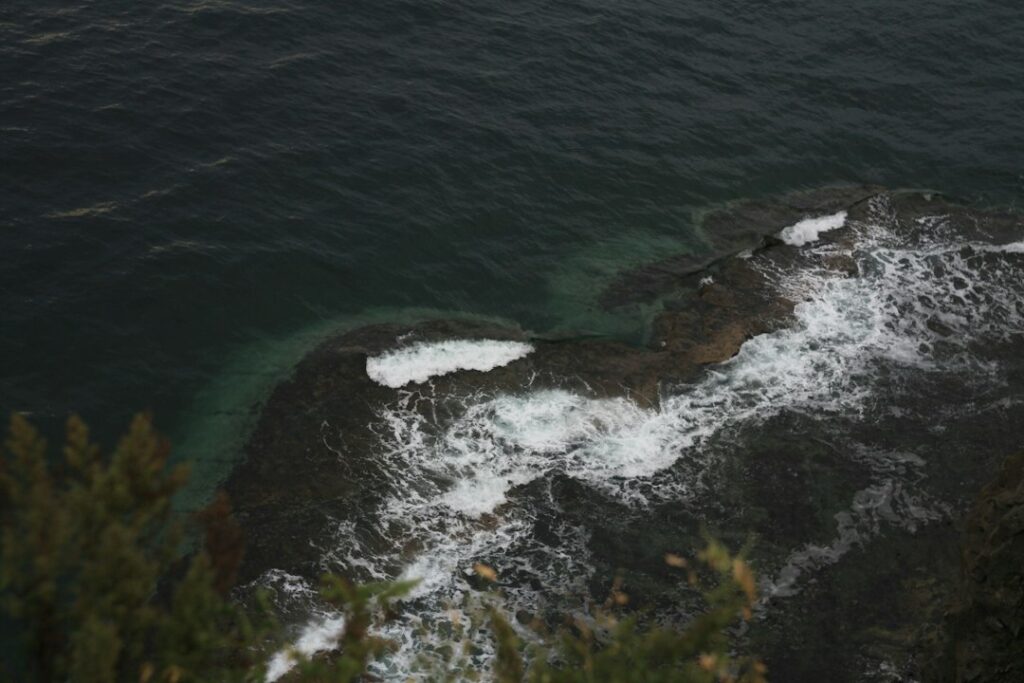
Primary source: NWS Los Angeles/Oxnard — Coastal Hazard Message, 7:06 p.m. PST November 21, 2026. Cover: stock/archival illustrative photograph, not a photo of the November 2026 event in Avila Beach or evidence of local flooding.
Support Avila Beach News — San Luis Obispo County | California58
Choose how to support Avila Beach News — San Luis Obispo County | California58:
Credit / Debit Card via StripeChoose your contribution amount on the secure California58 Stripe checkout. One-time support for independent local journalism.
Continue with PayPal Continue with ZelleZelle payments go to Vitaly Ataev Troshin. Please verify the recipient in your bank before sending. Availability depends on your bank.
Optional reader support. When possible, add “Avila Beach News — San Luis Obispo County | California58” to the payment note. Contributions are not advertised as tax-deductible. Support does not influence editorial decisions.More from Avila Beach News — San Luis Obispo County | California58
- Bob Jones Pathway Gap Closure: Why the $10.5 Million Segment Does Not Yet Reach Avila Beach →
- Avila Beach's Highway 101 Roundabout Reopened in 2025: Why the County's Project Page Still Shows Work →
- Avila Beach Drinking Water: Why the Lopez Supply May Taste Earthy While Officials Say It Is Safe →
- Why Avila Beach's First Street Still Floods: County Drainage Project Awaits Design and Funding →
- Avila Beach Bob Jones Trailhead Parking Lot Closed; Ontario Road Delays Scheduled November 3–4 →
СООБЩЕСТВО
Комментарии
Присоединяйтесь к обсуждению California58. Чтобы комментировать, необходимо войти в аккаунт.
Создайте бесплатный аккаунт California58 или войдите через доступную социальную сеть.